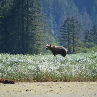
Great Bear Rainforest Hiking Trails
Tweedsmuir Park Lodge via ferrata | Jesaja ClassAncient petroglyphs, towering old-growth cedars and the largest coastal temperate rainforest in the world – experience it all and more by connecting with nature hiking in the Great Bear Rainforest. Pristine wilderness and few faces allow you to forget the outside world and reconnect with the earth in all its glory.
Note that many trails found in the Great Bear Rainforest are accessed by forest service roads and four-wheel drive is recommended.
Bella Coola Valley Hiking Trails
Grey Jay Lake Trail (4 km/2.5 mi, Easy/Moderate): Wind through alpine forest and meadows along Grey Jay Lake, ending at a viewpoint overlooking the North and South Bentinck Arms. Take the Clayton Falls Forest Service Road to access the M Gurr Lake Trail. At Blue Jay Lake look for the trailhead for the Grey Jay Lake/North Bentinck Lookout trail between the first two campsites.
Clayton Falls (Short, Easy): View the falls cascading through a canyon of cliffs and then have a picnic on the shoreline. Watch pink salmon jump the falls as they return to spawning grounds from late July to September. Access is found following the gravel road from the government wharf 1.8 km (1.1 mi) west and downhill.

Firvale | Jen Thorpe
Hagensborg Loop Trail (7 km/4 mi, Moderate): The trail follows Schoolhouse Mountain Falls Trail to the west falls, then heads uphill. The loop trail veers westward slightly downhill to a ford crossing of the creek. Take in second-growth forest, an old quarry pit, and fabulous views of Mount Saugstad, as well as Chum (aka Dog) salmon spawning in early August.
Medby Rock Lookout Trail (2 km/1.2 mi, Moderate): A steep hike that is well worth the effort, offering exceptional views of the Bella Coola Valley. To access, cross the bridge over the Nusatsum River about 3.3 km (2 mi) east of Saloompt Road on Highway 20. Past the hairpin corner you’ll find a large parking area on the west side of the highway.
Saloompt Forest Trail (1 km/0.6 mi, Easy): Excellent flat interpretive trail that follows the Bella Coola River and features diverse ecosystems. If you time your visit correctly, you can watch salmon spawn during the months of August and September. To access the trail, head north on Saloompt Road, about 20 km (12 mi) east of Bella Coola on Hwy 20. Take a left at the “Y” at 2.6 km (1.6 mi) down Saloompt River Road to the parking area about 1.4 km (0.9 mi) further.
Schoolhouse Mountain Falls Trails (1.5-2km/0.9-1.2 mi, Moderate/Strenuous): A short but strenuous uphill hike to the cascading waterfalls, choose the east (shorter) or west (longer) trail, both offering terrific views of Hagensborg and Bella Coola Valley. Access the trail by parking at Sir Alexander Mackenzie Secondary School and Nusatsum Elementary School parking lot in Hagensborg and head between the school buildings to the south side of the field, where the trail begins at the edge of the forest.
Snooka Trail System – East Loop (6 km/4 mi, Easy/Moderate): Hike through second-growth forest for a pleasant afternoon out of the sun. The East loop takes off from the south loop and heads east on to private land and ends at Hwy 20. Access is via Snooka Forest Service Road, 8 km (5mi) east of Bella Coola on Hwy 20. The parking area is 500 m (0.3 mi) down the road.
Snooka Trail System – South Loop (1.7 km/1 mi , Easy/Moderate): A pleasant, short hike offering travellers a chance to view second and old-growth forest, crossing Snooka Creek and then looping back. Access is the same as above.
Snooka Trail System – West Loop (3.8 km/2.4 mi one way, Moderate): Discover scenic views of Bella Coola, historic Tallheo Cannery and North Bentinck Arm and look down at the site of the petroglyphs (or view them in person courtesy of a guided tour with Copper Sun Gallery). Access is the same as above.
Snootli Creek Regional Park (Various, Easy): With trails ranging from short to 2km (1.2 mi) and relatively flat, take in a variety of natural sights and historic features, an ancient grove of culturally modified cedar trees, huge cottonwood, Sitka spruce and Douglas Maple as well as second-growth forest and a beaver pond. To access, travel east from Bella Coola on Hwy 20 about 10.5 km (7 mi) and turn north onto Walker Park Road, then take the gravel road for 300 m (0.19 mi) around the beaver pond to the pullout.
Download the Bella Coola Trail Guide for more hikes and details.
Klemtu Hiking Trails (Various)
Located on Swindle Island, accessible only by boat/ferry and seaplane lies the community of Klemtu and home to plenty of trails. If you’re able, a five-minute boat charter allows access to a stunning waterfall that runs from the top of the mountain right down to the ocean. You can follow the never-ending stairs alongside the waterfall, or hike by trail from the village.
Ocean Falls Hiking Trails (Various)
The selection of trails in and around Ocean Falls are excellent for all types of hikers. Those looking for a challenge may want to try out the trail up and around Link Lake behind the dam, or take an easy stroll around the remains of the old community. Note that Ocean Falls is only accessible by boat.
Shearwater Hiking Trails (Various)
Located on Denny Island, accessible only by boat/ferry, the area around Shearwater features several picturesque hiking trails:
Croil Lake (1.6 km/1 mi, Easy/Moderate): Access from the boatyard, then head west and up the hill where you’ll see the trail. Once you reach the gravel road, head south and you’ll see Croil Lake to the right of the road.
Eddie Lake (6 km/4 mi, Moderate): Start along the Croil Lake trail and follow the sign to the Eddie Lake trail. Although there is not much climbing involved, the trail can be muddy at times so appropriate footwear is important.
Discover more fantastic hiking trails throughout the Cariboo Chilcotin Coast, or download a travel guide to help plan your next adventure.
Respecting Communities and Cultures while hiking in the Land Without Limits
When travelling through our beautiful Land Without Limits, some undesignated hiking trails and backcountry routes will take you through Indigenous community areas. If possible, ask if you are permitted to hike through their land before you arrive. If you plan to take photos of buildings, art, artifacts or people, kindly ask permission first. By respecting the communities and culture you visit during your journey, you help make the experience a positive one for all involved.
Responsible Hiking in the Land Without Limits
No matter where you are hiking throughout the Cariboo Chilcotin Coast, use the following tips to ensure a safe and successful experience:
- Never attempt a trail that is too difficult for your capabilities;
- Carry the appropriate gear and supplies for the length of hike;
- Pack extra clothing for changes in weather conditions or an unexpected overnight stay;
- Make sure that someone knows where you are hiking and when you are expected to return – use the AdventureSmart Trip Planning App;
- Be aware of wildlife in the area and how to respond; and
- Always pack out what you bring in.
By being responsible hikers and travellers, we can all continue to enjoy the exceptional beauty of BC wilderness and preserve it for future generations.
Featured Partners
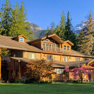
Bella Coola Mountain Lodge
Bella Coola Mountain Lodge offers guests a comfortable home-away-from-home experience in the beautiful Bella Coola Valley. Our lodge features 15 spacious rooms and suites with full kitchens and our famous light continental breakfast is offered to start your day. Our…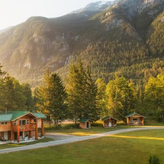
Bella Coola Grizzly Tours & Adventure Resort Inc
Bella Coola Grizzly Tours and Adventure Resort Inc. is a Land and Marine based operation out of the port of Bella Coola, British Columbia, Canada. We are located in the heart of the Great Bear Rainforest at the West end…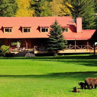
Tweedsmuir Park Lodge
** Tweedsmuir Park Lodge is now climate positive! ** Nestled in the heart of the Great Bear Rainforest, Tweedsmuir Park Lodge offers guests an authentic wilderness experience while enjoying world-class service. Just a short 70-minute flight from Vancouver (or 4.5hrs…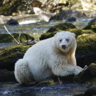
Spirit Bear Lodge
In a land sculpted by the last ice age, where deep coastal fjords cut into the snow capped mountains and temperate rainforests lead to remote beaches, Spirit Bear Lodge takes visitors from around the world into the heart of the…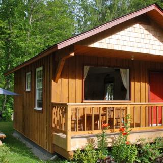
Nusatsum River Guest House
Centrally Located in the Bella Coola Valley, 10 minutes east of Hagensborg, and 30 minutes west of Tweedsmuir Park Bear viewing station. With stunning views of the Coast Mountains you can relax in comfort on the decks, or take a…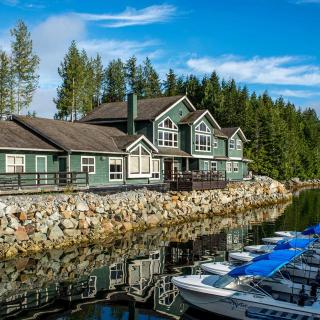
Shearwater Resort
Shearwater Resort is an Indigenous wilderness resort in the heart of the Great Bear Rainforest that is owned and operated by Heiltsuk Nation. Shearwater Resort is on Denny Island, just a short water taxi ride from Bella Bella, British Columbia.…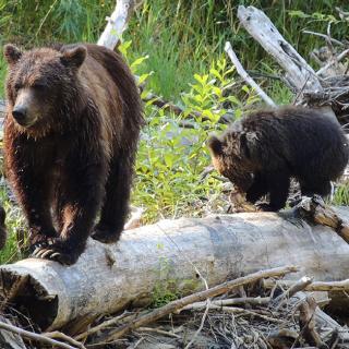
Kynoch Adventures
Discover the untouched lands surrounding Bella Coola Valley with an expert tour guide, ready to create an extraordinary experience. Embark on a guided eco-tour to discover the sights, sounds, and animals of this incredible region of British Columbia. Whether hiking,…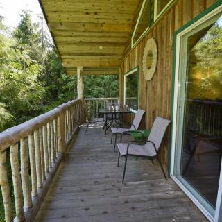
Suntree Guest Cottages
On the banks of the Bella Coola river, surrounded by snow-capped mountains, Suntree Guest Cottages await. A favoured getaway for artists, writers, and photographers as well as those looking to escape city life and reconnect with nature. Rest and relax,…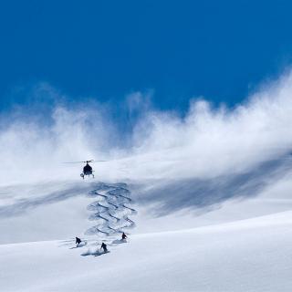
Bella Coola Heli Sports
Bella Coola Heli Sports is the world’s first climate-positive heli-skiing operation and a five-time winner of World’s Best Heli Ski Operator. Nestled in British Columbia’s vast Coast Mountains, we offer small group and private heli-skiing across 3.55 million acres (14,400…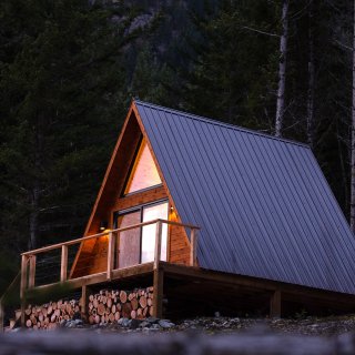
Firvale Wilderness Camp
Retreats, packages, and accommodation in the Heart of the Great Bear Rainforest. We offer safe and affordable guided tour packages in the Bella Coola Valley as well as nightly accommodation rentals.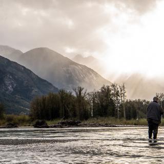
Bailey Bridge Campsite and Cabins
Located in beautiful Bella Coola and inspired by the surrounding landscape. Bailey Bridge Cabins, Campsites, RV Hook Ups are designed to make your visit unique, comfortable and a fun experience. Call us today or complete our contact form with your…