Chilcotin Hiking Trails
Nemaiah Valley | Jesaja ClassHop on a floatplane to explore untamed wilderness and backcountry adventure, or find a serene path closer to civilization. Regardless, the Chilcotin offers hikers incredible scenery – snowy peaks footed by glacial lakes, flower-filled meadows in the alpine regions and a plateau of basaltic lava (including the Rainbow Mountains which form an enormous dome of eroded lava and fragmented rock that presents an astonishing spectrum of reds, oranges, yellows, and lavenders) for some of British Columbia’s most diverse hiking views.
Anahim Lake (Various)
Kappan Mountain Lookout Trail (3.6 km/2.2 mi, Moderate/Strenuous): A rugged backcountry destination offering elevated views contrasting the rugged Coast Mountains against the Chilcotin plateau, as well as views of Kappan Mountain, Kappan and Hotnarko Lakes, Anahim Peak, Hunlen Falls, and Tweedsmuir Provincial Park. The trail takes about 2-3 hours to reach the top. Don’t underestimate difficulty as there is 553 meters (0.34 mi) of elevation gain. Access via Kappan Mountain Road just west of Anahim Lake Airport and approximately 23 km/14 mi to the trailhead on the south side of the road.
Precipice Rimrock (Hotnarko Falls) Trail (Short, Easy): Hike along the edge of “The Precipice,” with basalt cliffs and pillars and beautiful viewscapes leading to Hotnarko Falls. The best view of the waterfalls can be reached by following a trail to the north along the edge of the precipice. From Anahim Lake, head west on Highway 20 and turn left after Anahim Lake Airport onto Kappan Mountain Road. After 5 km (3 mi), turn right onto Beeftrail Road, then just before 12 km / 7.5 mi turn left onto Hotnarko Road (shortly after the “19 km” marker) for 3.4 km/2.1 mi to the parking area.

Junction Sheep Range, Riske Creek | Grant Harder
Junction Sheep Range Provincial Park (Various)
Explore various day-hike options overlooking the junction of the Fraser and Chilcotin Rivers. Various wildlife inhabit the park, including bighorn sheep, birds and snakes. Get to the park by travelling 20 km (12 mi) to the bottom of the canyon from Highway 20, south of Riske Creek.
Potato Mountain Trails (Various)
Crest Route (15 km/9 mi, Moderate): Begins at the end of a rough four-wheel-drive road near the north end of Tatlayoko Lake, ending at Bracewell’s Wilderness Lodge.
North Potato Trail (6 km/4 mi, Moderate): This trail branches off the Potato Crest Trail and leads to a small subalpine lake with 100 m (330 ft) elevation gain.
Potato Mountain Trail (9 km/6 mi, Moderate): This moderately strenuous full-day hike has a steady uphill grade, with short steep sections but will reward you with wonderful views of the Tatlayoko Valley and interesting alpine ecosystems.
Access to the trails begins about 40 km (25 mi) south of Tatla Lake on Tatlayoko Rd.
Puntzi Lake Trails (Various, Easy)
Approximately 9 km (6 mi) of trails extending south of the lake, weaving through the forest and around a marsh. Minimal elevation gain.
South Chilcotin mountains Provincial Park [Various]
This visually-spectacular area provides views of mid elevation grasslands, sub alpine and alpine meadows, alpine lakes and mountain peaks. The park encompasses the watersheds of Lizard and Leckie Creeks and portions of other watersheds and headwaters. Discover broad valleys and ridges with more than 200 km (124 mi) of trails through valleys, meadows and along ridges for a variety of trips – varying in difficulty and distance. Here are a few top trails to explore:
Lizard Lake via Lizard Creek Trail (76 km/47 mi, Strenuous): A multi-day out and back trail near Squamish-Lillooet Regional, great for backpacking and fishing.
Spruce Lake via Gun Creek Trail (16 km/10 mi, Strenuous): Point-to-point trail that is beautiful all year round.
Open Heart Trail (8 km/5 mi, Moderate): Terrific day hike option with panoramic views of Gun Creek and Tyaughton Creek valleys.
Graveyard Cabin via Relay Creek Trail (12 km/7.5 mi): An superb trail that climbs up to the alpine and a few creek crossings.

Tatla Lake
Tatla Lake Community Trails (Various, Easy/Moderate)
Find over 17 km (11 mi) of trails starting from the townsite, including everything from alpine flowers to rugged terrain and stunning views.
Ts’ilʔos Provincial Park (Various)
Tchaikazan-Yohetta Trail (4-6 days, Moderate): A popular backcountry hike that heads west through the Tchaikazan Valley and then back through the Yohetta Valley, linking together through Spectrum Pass and by Dorothy Lake. Access is via Highway 20, then south on Chilko Lake Road from Hanceville.
Tullin Mountain Trail (12 km/7 mi, Moderate): An excellent day hike beginning at the Gwa Da Ts’ih campground, offering an elevation gain of 730 m (2,400 feet).

Hunlen Falls – Tweedsmuir Provincial Park, BC | Kari Medig
Tweedsmuir Provincial Park (Various)

Rainbow Range | Tyler Cave
Hunlen Creek & Falls (4-6 days or via floatplane, Strenuous): No water is available along this route, so you’ll have to pack in your own or bring a purifier, but an incredible experience to see Canada’s highest free-falling waterfall. Start at Young Creek Picnic Site in Tweedsmuir Park. Upon reaching Hunlen Falls and Turner Lake, feel free to explore further, but ensure you are properly equipped and aware of wildlife in the area.
Rainbow Range (Assorted, Moderate/Strenuous): An exceptionally beautiful hiking experience due to the volcanic mountains creating layers of red, yellow and magenta. Nearly unlimited routes, most are above the treeline, with lakes and meadows for backcountry camping. Head to Heckman Pass on Highway 20 and take the road for Octopus Lake to the trailhead.
Discover more fantastic hiking trails throughout the Cariboo Chilcotin Coast, or download a travel guide to help plan your next adventure.
Respecting Communities and Cultures while hiking in the Land Without Limits
When travelling through our beautiful Land Without Limits, some undesignated hiking trails and backcountry routes will take you through Indigenous community areas. If possible, ask if you are permitted to hike through their land before you arrive. If you plan to take photos of buildings, art, artifacts or people, kindly ask permission first. By respecting the communities and culture you visit during your journey, you help make the experience a positive one for all involved.
Responsible Hiking in the Land Without Limits
No matter where you are hiking throughout the Cariboo Chilcotin Coast, use the following tips to ensure a safe and successful experience:
- Never attempt a trail that is too difficult for your capabilities;
- Carry the appropriate gear and supplies for the length of hike;
- Pack extra clothing for changes in weather conditions or an unexpected overnight stay;
- Make sure that someone knows where you are hiking and when you are expected to return – use the AdventureSmart Trip Planning App;
- Be aware of wildlife in the area and how to respond; and
- Always pack out what you bring in.
By being responsible hikers and travellers, we can all continue to enjoy the exceptional beauty of BC wilderness and preserve it for future generations.
Featured Partners

Retreat Wilderness Inn
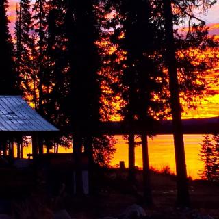
Retreat Wilderness Inn is an all-season destination, offering intimate, four-star suites. With over 40 years of experience operating this property, your hosts, Donn and Lee will assist in making your vacation one to remember. Our picturesque, landscaped, lakefront grounds provide…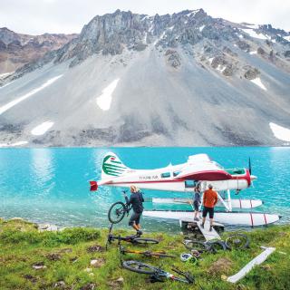
Tyax Adventures
Recognized as the expert guides to the South Chilcotin and pioneers of floatplane accessed multi-day backcountry mountain travel, Tyax Adventures has been sharing the magic of British Columbia's South Chilcotin mountains with guests for 20 years. Our expert and service…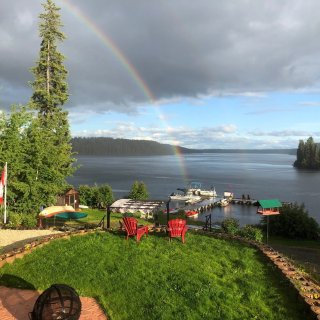
Nimpo Lake Resort
Nimpo Lake Resort is the perfect place to relax and enjoy the wonders of the West Chilcotin scenery and wildlife. Our restful lake-side resort offers modernized log cabins with country charm. Each cabin has a private deck and firepit. Cabins have…
Tatla Lake Manor/Motel Ltd.
Welcome to Tatla Lake Manor/Motel Ltd., your perfect retreat nestled halfway into the breathtaking Chilcotin region. Whether you're embarking on an adventure to Bella Coola, heading east to Williams Lake, or exploring the pristine lakes of Chilco, Tatlayoko , Cochin,…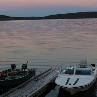
Woodlands Fishin Resort
Come experience fishing for Kokanee and Rainbow Trout, an abundance of wildlife, hiking trails, 4x4 trails of the Chilcotin in British Columbia. Enjoy one of our many R.V. sites full or partial hookups, Cabin rentals with full kitchens, bathrooms and…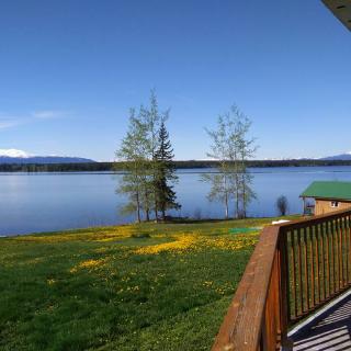
Anahim Lake Resort
Rustic Simplicity! The resort encompasses cozy lakeshore cabins-plus one full service cottage. Central shower and flush toilet, running water, wood & propane cooking stoves, electricity and with panoramic views. Trail riding, flight seeing, fly-in fishing, hiking bird watching, and renowned…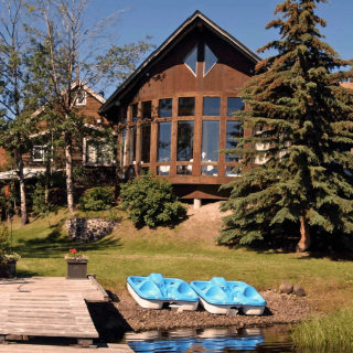
Eagle's Nest Resort
Enjoy the beautiful west Chilcotin at Eagle's Nest Resort. Choose from very comfortable rooms or cozy lakeside log cabins. There are many great day-hikes in the area, from easy to moderate, with great views and diverse scenery. Take a spectacular…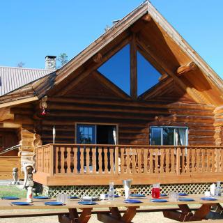
Terra Nostra Guest Ranch
A Canadian Guest Ranch Experience awaits in one of the most unspoiled areas of the Chilcotin BC district: Terra Nostra Guest Ranch on Lake Clearwater. Enjoy a walk, hiking or horseback riding in unspoiled nature, or explore the lake by…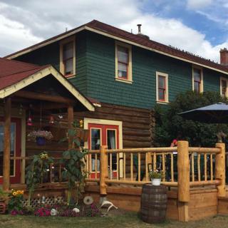
Historic Chilcotin Lodge
The Lodge is located in Riske Creek on the Chilcotin Plateau, not far from the confluence of the Fraser and Chilcotin Rivers. It is also close to both the Junction Sheep Range Park which contains a large herd of California…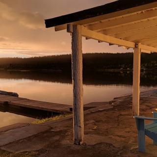
Barney's Lakeside Resort
Come experience the peace and quiet of the Chilcotin our motto is "Get away from it all” unwind, unplug - it's stress-free. Come fishing for Kokanee and wild Rainbow Trout, an abundance of wildlife, hiking trails and unlimited 4×4 and…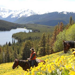
Wilderness Trails
Wilderness Trails facilitates conservation trips into the vast wilderness of the Chilcotin Ark. All our trips are based on our six principles of Nature Connection, Conservation and Stewardship, Personal Development, Self-Sufficiency, Empowerment and Conscious and Aware. Each and every wilderness…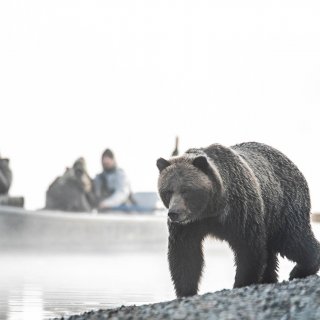
Bear Camp
Enjoy a world-class adventure at this converted hunting & fishing camp, where you'll find yourself deep in the unspoiled raw wilderness of British Columbia's Pacific Coast Mountain Range. Get ready for exceptional wildlife viewing and opportunities to explore on foot…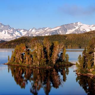
Nuk Tessli Wilderness Experience Ltd
Perched at 1600 metres on the shores of an alpine lake in the Chilcotin region of the Coast Mountains is the lovely Nuk Tessli Lodge. Discover rugged comfort in the heart of the wilderness with three log cabins set within…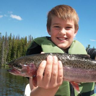
Stewart's Lodge
For nearly 70 years the Stewart Family has been providing discerning outdoor enthusiasts with incredible experiences in the Chilcotin region. Take a scenic tour of Tweedsmuir Park and its magnificent Hunlen Falls, get to over 25 inaccessible lakes for some…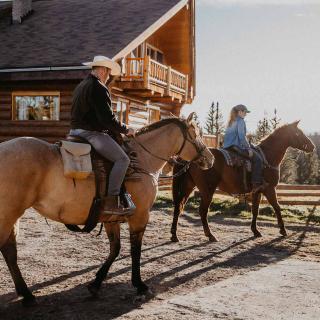
Big Creek Lodge
Big Creek Lodge offers a full program of activities: horse trail riding, ATV tours, kayaking, camp trips on horses, excellent fishing, wilderness hiking, mountain biking, hunting, day trips to the Nemaiah Valley for wild horse viewing and hiking at the…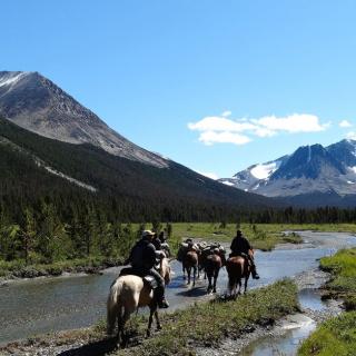
Taseko Adventures
Come away and experience authentic Canadian Mountain living immersed in the Taseko wilderness area. Come Explore beautiful back country and enjoy a simpler, richer way of life. Come be inspired with invigorating sights, good food, cozy beds, and exhilarating activities…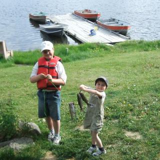
Fishpot Lake Resort
Here at Fishpot Lake Resort we offer 8 lake front cabins and 10 campsites. We have a playground, swim dock, boat launch, and boat dock. We are a 2017 Plateau Fire Survivor. The lake is stocked yearly with trout. We…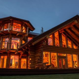
Chilko Experience Wilderness Resort
Our exclusive estate is nestled on the golden crisp of land where the breathtaking Coastal Mountains of British Columbia give way to the historic Chilcotin Plateau. The Chilko Experience invites you to experience the raw, pristine wilderness of southern British…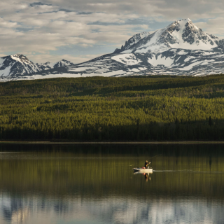
Chaunigan Lake Lodge
Stunning mountain scenery, wild horses, abundant wildlife, spectacular lake views, beautifully appointed hand-crafted log building. Relax, unwind and recharge. Hear the loon’s beautiful tremolo laughing call. The eagle’s wing beat as it swoops down and snatches a wild trout from…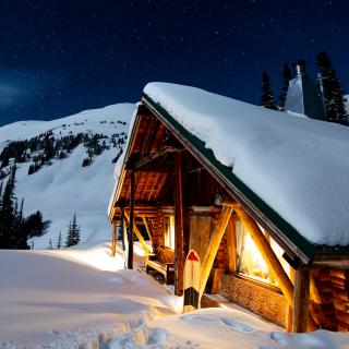
Whitecap Alpine
Whitecap Alpine is an outdoor adventure backcountry lodge that specializes in guided hiking, ski-touring and split-boarding trips. All meals are fully catered for by our private chefs and our ACMG qualified guides curate adventures for all abilities levels, enabling our…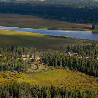
Red Cariboo Resort
Red Cariboo Resort is surrounded by raw nature and is an ideal location to begin your discovery of British Columbia near the Dean River and Anahim Lake. In the evenings, you can indulge in a homestyle Canadian BBQ dinner followed…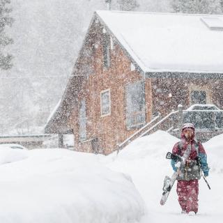
Bralorne Adventure Lodge
We are a boutique accommodation lodge in Bralorne BC catering to private groups. Just you and your friends and the mountains with excellent back yard access to exceptional snowmobiling, backcountry skiing and snowboarding, mountain biking, dirt biking, hiking, and just…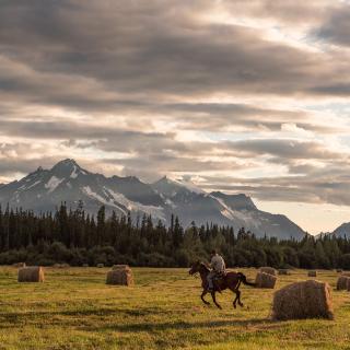
Bracewell's Alpine Wilderness Adventures
Three-generation business specializing in multi-day horseback trips into the interior and coast mountains, lodge accommodations for day trips, fishing and relaxing by choice.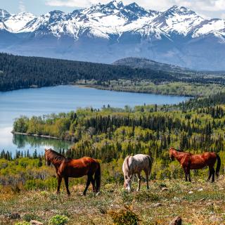
Nemiah Valley Lodge
Nature as Created All-inclusive stays with the Xeni Gwet'in First Nation on Tsilhqot'in Title Lands. The Lodge and its seven cabins (each divisible into two units) offer Indigenous-inspired cuisine, modern accommodation in the newly renovated facilities and immersive cultural sharing…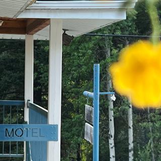
Bralorne Mines Motel
Your best “back country “ home away from home is at Bralorne Mines Motel. Choose from a selection of rooms, from a double room to queen suite with full kitchen. Located in the Bridge River Valley, the motel is an…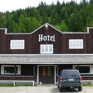
Gold Bridge Hotel
The famous Gold Bridge Hotel in the Bridge River Valley. Where old and new friends meet. Local watering hole and accommodation in downtown Gold Bridge. Located in the beautiful Bridge River Valley.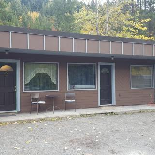
Gold Dust Motel
Great little motel in beautiful Gold Bridge, BC. Very clean, with some rooms with a full kitchen. Outdoor covered area with seating and BBQ available for guest use. Please call to book.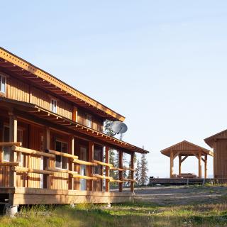
Red Cariboo Apartments
The Red Cariboo Apartments are located north of Anahim Lake in West Chilcotin, British Columbia, on Elsey Road, only 1 km off the Chilcotin-Bella Coola Highway 20. The private property with the apartment building is directly at the waterfront of…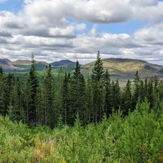
Three Nations Store & Lodge
THREE NATIONS STORE AND LODGE PROVIDES NEEDS FOR THE MODERN EXPLORER! Currently, the Store is the only facility within 55 km for visitors to purchase items. There is a gas station and restaurant and rustic accommodations for weary travellers. The…