Hiking along the Cariboo Gold Rush Trail
Jesmond, Near Marble Range Provincial Park | Blake JorgensonFollow in the footsteps of history as you explore trails first travelled by British Columbia’s Indigenous peoples and later gold rush explorers. Unique geological formations and diverse ecosystems are found throughout the Cariboo Gold Rush Trail, where hikes can include limestone karsts, alpine meadows and scenic vistas.
Big Bar Lake Provincial Park (2 km/1.2 mi, Easy)
This loop trail in Big Bar Lake Provincial Park takes travellers over the eskers and around the otter marsh. Discover beautiful views of the Marble Range and Fraser Plateau, and bring your binoculars for fantastic bird-watching in the area.
Blackwater Canyon (3 km/1.9 mi, Easy)
A well-marked, round trip hike along the Blackwater River, following Blackwater Canyon through lodgepole pines and flower-filled meadows to the canyon rim – and several viewpoints and picnic sites. Stay away from the edge of the canyon as the terrain is unstable. The trailhead starts at the Blackwater Crossing Recreation Site, 60 km (37 mi) west of Quesnel on Blackwater Road.

Quesnel Lake, BC | David Jacobson
Cameron Ridge Trail (14 km/ 9mi, Moderate)
This hike winds through subalpine forest and meadows along windswept ridges. The Cariboo Mountains Lookout at the 3-km (1.9-mi) point of the trail sits atop a 1,000-metre cliff, dropping straight down into the North Arm of Quesnel Lake. The trailhead is about halfway between Barkerville and Likely on Cariboo Lake Road.
Barkerville (Various)

Barkerville Hiking Trails | Jonny Bierman
Groundhog Lake/Mount Agnes Trail (17 km/11 mi, moderate/strenuous): From Barkerville to Richfield following the route of the original Cariboo Waggon Trail to Summit Rock. Start along the back street of Barkerville.
Grouse Creek Trail – Barkerville to Racetrack Flats (30 km/19 mi, strenuous): Follow in the footsteps of Gold Rush miners travelling to their claims along Grouse Creek. The trail starts along the road just outside of Barkerville, heading across the bridge over Williams Creek, following the road, staying left for 5.5 km (3.4 mi) to signs indicating a right to turn onto Grouse Creek at the junction.
Lowhee to Barkerville (2 km/1.2 mi, easy): An easy walking trail from Lowhee Campground in Barkerville Park with Barkerville Cemetery and Barkerville Historic Town & Park.
Powderhouse Trail (30 km/19 mi, strenuous): Travel this historic hiking trail from the Barkerville area up to the high country at Mount Agnes. The Powder House Trail starts across the meadow from Summit Rock on the Cariboo Waggon Road.
Richfield Cemetery Trail (800 m/0.5 mi, easy/moderate): The trailhead is located near the north side of the Richfield Courthouse and begins with a brief climb but levels off. Consider taking the road out to the Waggon Road for a slightly longer walk.
Williams Creek Loop (10 km/6 mi, moderate): Trailhead sign for the 1861 Gold Rush Pack Trail is found below the Richfield Courthouse.
Collins Overland Trail (33 km/21 mi, Moderate)
This hike follows part of the historic Collins Overland Telegraph Company survey route from Whittler Creek to Pantage Creek. The three separate trails are all well marked. Access is located 70 km (43 mi) from Likely on Cariboo Lake Road, 5 km (3 mi) past Maeford Lake.
Horsefly Lake Provincial Park (Various)
An assortment of hiking trails can be found within the park, leading from the park campground to Viewland Mountain or the alpine meadows at Eureka Peak. You can also explore trails around Horsefly Lake itself.

Quesnel Riverfront
Quesnel Hiking Trails
Take to paths right downtown, perfect for a good stretch and exploring the city of Quesnel, or head out for a challenging climb and terrific scenery at the following hiking trails:
Alexander Mackenzie Heritage Trail (450 km/280 mi, strenuous): Also known as the Nuxalk-Carrier Grease trail, this route traverses the province from the intersection of the Blackwater and Fraser Rivers just outside Quesnel to Sir Alexander Mackenzie Provincial Park in the Deal Channel north of Bella Coola. Although the entire trail takes three weeks and a lot of preparation to complete, there are a variety of smaller hikes here, crossing through alpine trails, rivers and a fjord.
Beavermouth Recreation Site: A 20-30 minute hike up the creek offers a fantastic view of the waterfalls.
Claymine Low Mobility Trail (1km /0.6 mi, easy): 15 km west of Quesnel on Claymine Rd, the trail meanders through lush forest and around a large boulder that was deposited during the last ice age. An accessible outhouse and information kiosk are located at the trailhead, as well as an accessible picnic table along the trail.
Cottonwood Accessible Trail (3.4 km/2 mi, easy): located approximately 26 km (16 mi) east of Quesnel on the Barkerville Highway, this network of gentle-grade-trails wind around the perimeter of the Cottonwood Historic Site and along the Cottonwood River.
Fuel Management Trails (various): a hard-packed, low-grade network of forested paths perfect for all ages with up to 3 km (2 mi) of trails to check out. There is a ½ km low-mobility loop suitable for wheelchairs and strollers that has three beautiful log benches. The trails wind through a fuel-managed demonstration forest, to illustrate fuel-treated stands of trees, and an educational kiosk is on-site with additional information on wildfires and fuel management.
Hallis Lake Trail Network (750 m/0.5 mi, easy): a crushed gravel trail that descends down to a lookout over Hallis Lake.
Hangman Springs Trails (various): just 20 minutes from Quesnel, this trail network has some great views of Baker Creek. These trails are shared year round, so watch for (or bring) dirt bikes, horses and hiker, as well as snowmobile and snowshoe in the winter.
Hixon Falls (3.9 km/2.5 mi, easy): an out-and-back trail located about an hour north of Quesnel but well worth the visit to see the 100-foot cascading waterfall . Generally considered an easy route, it takes an average of 1 h 1 min to complete, or there is a 250 m trail to the bottom of the falls.
Kosta’s Cove Accessible Trail (2km/1.2 mi, easy): an accessible trail that begins at Kosta’s Cove Community Park and runs along the shore of Ten Mile Lake, looping back around through lush forest. Select from the well-packed gravel and a gently graded path along the shoreline, or tackle more difficult terrain through the forested section.
Pinnacles Provincial Park (1km, strenuous): located 7 km (4 mi) west of Quesnel, this provincial park is open year-round and offers one of the best views of the city plus vistas high above Baker Creek and the park’s famous “hoodoo” rock formations.
Riverfront Trail (various): paved trails providing access to the river and a scenic, peaceful circle tour through the community of Quesnel. The downtown loop is 5 km (3 mi) in length and takes about an hour to complete. The West Quesnel loop is 4.3 km (2.5 mi) long. Signage situated along this walking trail provides insight into the history, nature, and First Nations of the area.
Ten Mile Lake Provincial Park (various): just 10 minutes north of Quesnel, this lake offers year-round recreation. A nature trail to a large beaver pond offers the chance to view diverse wildlife up close. There are over 10 km (6 mi) of trails to explore and in the winter feel free to bring your snowshoes or cross-country skis. If you’d like to try your hand at catching a fish, you can also borrow an auger, fishing rod and tackle free of charge from the Quesnel Visitor Centre (with refundable deposit).
West Fraser Timber Park (various): located in the largest of Quesnel’s city parks, offering a system of hiking trails.
Wonderland Trail Network: (various): a recently updated network of multi-use trails located south of Quesnel.
Discover more fantastic hiking trails throughout the Cariboo Chilcotin Coast, or download a travel guide to help plan your next adventure.
Respecting Communities and Cultures while hiking in the Land Without Limits
When travelling through our beautiful Land Without Limits, some undesignated hiking trails and backcountry routes will take you through Indigenous community areas. If possible, ask if you are permitted to hike through their land before you arrive. If you plan to take photos of buildings, art, artifacts or people, kindly ask permission first. By respecting the communities and culture you visit during your journey, you help make the experience a positive one for all involved.
Responsible Hiking in the Land Without Limits
No matter where you are hiking throughout the Cariboo Chilcotin Coast, use the following tips to ensure a safe and successful experience:
- Never attempt a trail that is too difficult for your capabilities;
- Carry the appropriate gear and supplies for the length of hike;
- Pack extra clothing for changes in weather conditions or an unexpected overnight stay;
- Make sure that someone knows where you are hiking and when you are expected to return – use the AdventureSmart Trip Planning App;
- Be aware of wildlife in the area and how to respond; and
- Always pack out what you bring in.
By being responsible hikers and travellers, we can all continue to enjoy the exceptional beauty of BC wilderness and preserve it for future generations.
Featured Partners
108 Golf Resort
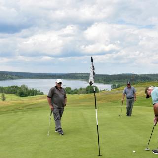
The 108 Golf Resort is located in the rolling hills of British Columbia's spectacular Cariboo region. Graced by two lakes, a CPGA golf course and miles of riding trails through wooded forests, you'll find ample ways to enjoy your stay.…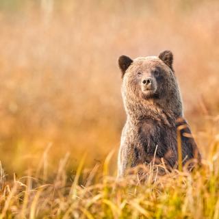
Ecotours BC
Ecotours-BC, a family based signature wilderness adventure destination in the Cariboo Mountains in central British Columbia offers guests the rare opportunity to connect with nature and see through the eyes of the forest. Specializing in bear and wildlife viewing experiences…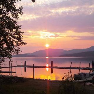
Plato Island Resort & Marina
Welcome to our gem in the wilderness on pristine Quesnel Lake. Enjoy daily or seasonal camping, our renovated cabins, protected marina and locally-food sourced food that will please the most spoiled foodie.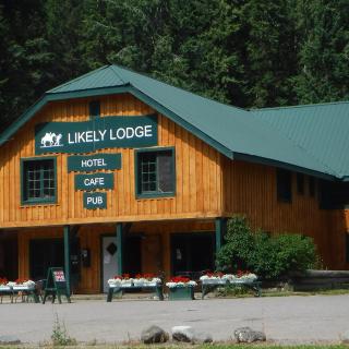
Likely Lodge
Quaint & Friendly lodge located on the shores of Quesnel Lake at the mouth of the Quesnel River. The beautiful countryside is a haven for outdoor activities including boating, river rafting, kayaking, fishing, hunting, quading, hiking, snowshoeing, biking, cross-country skiing,…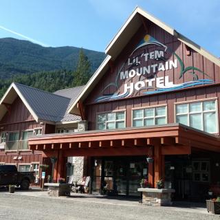
Lil'tem Mountain Hotel
From rainbow trout fishing in the nearby lakes, to exploring the hiking trails in the surrounding mountains, this small community offers a friendly and comfortable place to stay while enjoying the area. Also rich in St’át’imc Tsal’alh culture, Seton Portage…
Kreekside Motel & Campground
If you are looking for a place to rest, relax, hunt, fish, or even pan for gold, look no further than Kreekside Motel, Campground and Trailer Park. Our location is also a great place for family gatherings or a quick…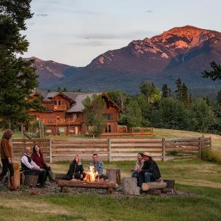
Echo Valley Ranch and Spa
Echo Valley is a small, eco-luxury Guest Ranch and Spa thoughtfully designed to inspire connection with the restorative elements of our natural surroundings. Discerning soft-adventure seekers are instinctively drawn to our respectful, sustainable and comfortable lifestyle. Step away from life’s…
Crooked Lake Resort
A beautiful, picturesque spot in the Cariboo Mountains of British Columbia, private and secluded. An off-the-grid, remote wilderness resort where our guests can escape the pace and encumbrances of modern day life, to enjoy seclusion, solitude and back-country recreation. We…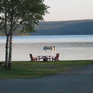
Kokanee Bay Resort
Welcome to relaxation at its finest. At Kokanee Bay Resort we invite you to come and experience the beautiful Cariboo in the comfort of our hospitality. Kokanee Bay is a quiet and relaxing setting for the entire family. Located along…
Willow River Inn
The Willow is a second floor retreat in a unique heritage building centrally located in Wells. Intelligently arranged, large private space with an optional unique loft. Sleeping 2 to 10 people, it makes a fun base for winter or summer…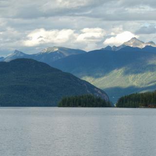
Horsefly Landing Resort
Come to scenic Horsefly Lake, just an hour from Williams Lake, BC. Enjoy your stay in a comfortable, and fully-equipped rustic log cabin. While you're here, discover the serene waters of Horsefly Lake and the scenery surrounding it while you…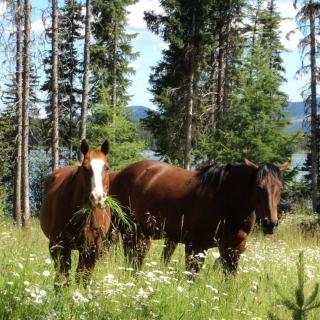
Ten-ee-ah Lodge
Ten-ee-ah Lodge is the perfect place to take in the wilderness of the Cariboo. Your hosts will ensure that you have an active but adventurous stay in your own deluxe log cabin, luxury log home, or in the well-equipped campground.…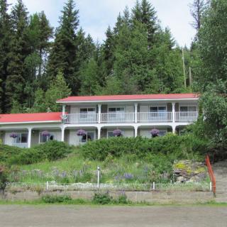
High Country Inn
Located in the quaint rural community of Likely, High Country Inn is situated on the sunny side of the valley overlooking Quesnel Lake. Our well maintained rooms come with satellite TV, internet, fridge and all the comforts one would need…
Lakeview Acres at Morehead
Make one of our cabins or campsites your home base as you enjoy exploring this spectacular region of Central British Columbia. We are centrally located, with many good fishing lakes and historic sites close by. Take a trip to historic…
Big Bar Guest Ranch
Weyt-K! Big Bar Guest Ranch is proudly owned by the Stswecem'c Xgat'tem First Nation. Here you will find traditional indigenous experiences interwoven with the day to day ranch life of a wrangler. Nestled in the heart of our Stswecem'c Xgat'tem…
Bralorne Adventure Lodge
We are a boutique accommodation lodge in Bralorne BC catering to private groups. Just you and your friends and the mountains with excellent back yard access to exceptional snowmobiling, backcountry skiing and snowboarding, mountain biking, dirt biking, hiking, and just…
Northern Lights Lodge
We are a full-service fly fishing lodge located deep in the Cariboo Mountains of BC, Canada. Our lakeside lodge is surrounded by multiple rivers and lakes on which we offer fully guided fly fishing adventures for both native rainbow trout…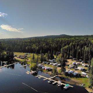
Cariboo Bonanza Resort
Only a short, 15-minute drive East of 100 Mile House, the Cariboo Bonanza Resort offers everything you need! 11 cabins, 1 luxury chalet and 50 full hookup (15 and 30 Amp) sites all with a view of the lake. We…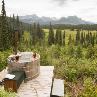
Cameron Ridge Bungalows
Jewel of the Mountains! A paradise of opportunity awaits you in the heart of the Cariboo Mountains at Cameron Ridge Bungalows. Offering exclusive Cabin Rentals, Guided Hiking Excursions, Heli-Hiking, Photo Safaris, Bird Watching, Wildlife Viewing and more, there is no…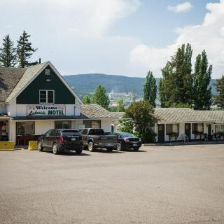
Lakeside Motel
Great old-fashioned motel, offering quaint rooms with lovely views of Williams Lake. The Lakeside Motel offers 32 cozy, neat and clean rooms. Free newspapers, private yards, unlimited WiFi, public parking and coffee makers are also available to complete the home-away-from-home…
Tall Timbers Resort
With a lake fishing resort experience, summer days are perfect for fishing, boating, canoeing, hiking , biking, swimming, and horseback riding. A perfect setting for photography, take time to view the wild life. Tall Timbers Resort is a great destination…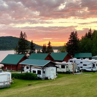
Martens Resort
Welcome to Martens Resort on beautiful Timothy Lake! Book your next family vacation at our lakefront resort, where we have several cabins and fully serviced RV sites right on the shores of Timothy Lake. If you are looking for a…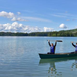
Beaver Guest Ranch
The Beaver Guestranch is a B&B, that has been very successful during the last 20 years, offering complete travel packages, particularly catered to European Customers (Germany, Austria, Switzerland). After a 2 year closure due to Corona, the ranch is now…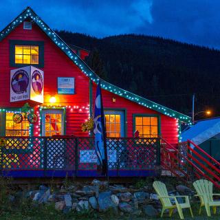
Historic Stays
We have unique accommodations in Wells, Barkerville, and Quesnel, for groups of two to 10. Suites for couples, or vacation homes for families, or other groups. Fun and interesting stays with 1930's decor and modern conveniences. Walking distance to trails,…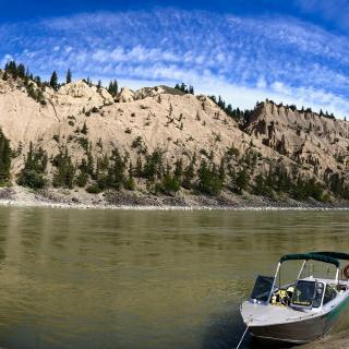
Cariboo Chilcotin Jetboat Adventures
Cariboo Chilcotin Jetboat Adventures offers tours 15 minutes west of Williams Lake BC. Tours begin in May and end in October. We offer day trips and multi day trips showcasing beautiful river scenery, Indigenous culture sharing experiences, gold rush history…
Beckers Lodge
Becker’s Lodge, is an all-season adventure resort on Bowron Lake, BC. We have lakeside cabins, Year-round restaurant kayaks, canoes, ATVs (quads), mountain bikes, and snowshoe rentals. We are outfitters to the Bowron Lake Provincial Park canoe circuit, providing cabins, canoe…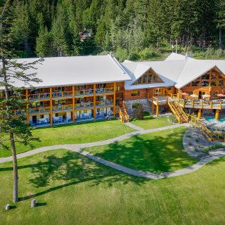
Tyax Lodge & Heliskiing
Resting on the shores of Tyaughton Lake in the heart of the southern Chilcotin Mountain of British Columbia, the wilderness resort showcases rugged mountain peaks, pristine lakes, stunning glaciers and a diverse ecosystem of wildflowers and wildlife. In the summer,…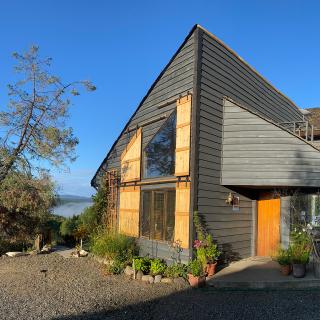
Juniper Trails Bed and Breakfast
Juniper Trails Bed and Breakfast in Williams Lake is located on 27 stunning acres in the heart of the spectacular Cariboo region of British Columbia. Put your feet up and enjoy our high quality accommodations, property and thoughtful welcoming hospitality…